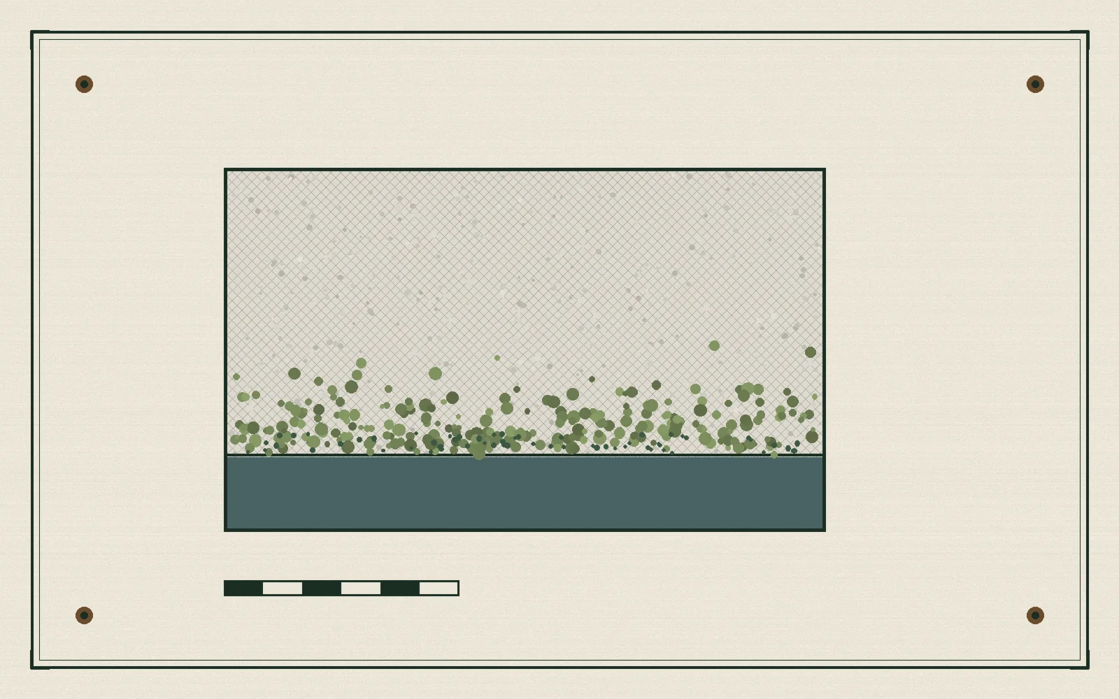
Grand Coulee, measured in rain.
Analysis · Hydro
The biggest power station in the United States does not announce itself. It works through the wet season on the Columbia River, and the interesting questions are the quiet ones: how much water the mountains are holding, and what the grid asks of the dam on the evenings when both answers matter.
Read the full story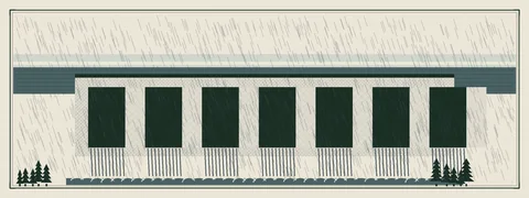
Stories
Everything we have published so far, with a source behind every claim.
-
Buildings
Washington's clean-energy law reaches the building code
The state's 100 percent clean grid target set the goal.
-
Hydro
The Columbia's dams come up for renewal, one license at a time
Federal hydropower licenses run roughly 30 to 50 years, and several Northwest projects are working toward renewal.
-
Analysis
Grand Coulee, measured in rain
The largest power station in the country keeps its real ledger in acre-feet and snow pillows, not press releases. A close reading of what the wet season means for the Columbia grid, and why the dam's quietest hours are the ones to watch.
-
Wind
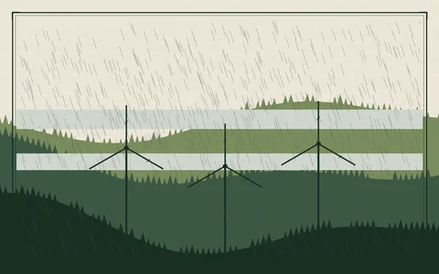
Skookumchuck's long shadow over the working forest
The southwest wind farms sit on timber land, and that changes the whole conversation. Roads, harvest cycles, habitat buffers, and why forestry-edge projects read differently from rangeland ones.
-
Policy
How to read a water year without drowning in jargon
Snowpack percent of normal, April 1 forecasts, runoff timing: a plain-English guide to the numbers that decide Washington's hydro year, and what they mean for your summer power bill.
-
Solar
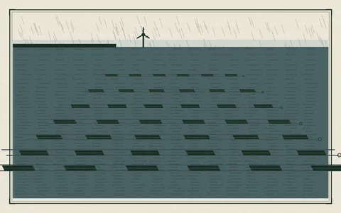
Floating solar keeps knocking on the reservoir door
Elsewhere, floating arrays on reservoirs have moved from novelty to standard practice. Washington's reservoirs are cold, deep, and publicly owned, and the permitting questions here are different. A status report, with the claims we could verify and the ones we could not.
-
Grid
What the coal exit changes for the evening peak
With the last Centralia coal unit scheduled to retire by the end of 2025, the evening ramp belongs to hydro, imports, and whatever storage gets built. We walk through a winter evening on the BPA system.
Where Things Stand
The short version, from public records: what is generating, what the water is doing, and what to watch this season.
- HydroGrand Coulee Dam remains the largest power station in the United States, at roughly 6,800 megawatts across three power plants. The Bureau of Reclamation operates it; the Bonneville Power Administration markets the output.
- PolicyWashington's Clean Energy Transformation Act sets the schedule: coal retired by the end of 2025, 80 percent clean by 2030, and 100 percent clean by 2045.
- WindSkookumchuck Wind, roughly 140 megawatts in Thurston and Lewis counties on working forest land, has been operating since 2020 and is the state's clearest example of the forestry-edge model.
- WatchThe April 1 snowpack survey is the single most predictive number in the state's energy year. A low snow year squeezes summer hydro exactly when air conditioning demand peaks.
Figures here are rounded and stated conservatively. When a number is not in a primary document, we say so in the story.
Illustrations
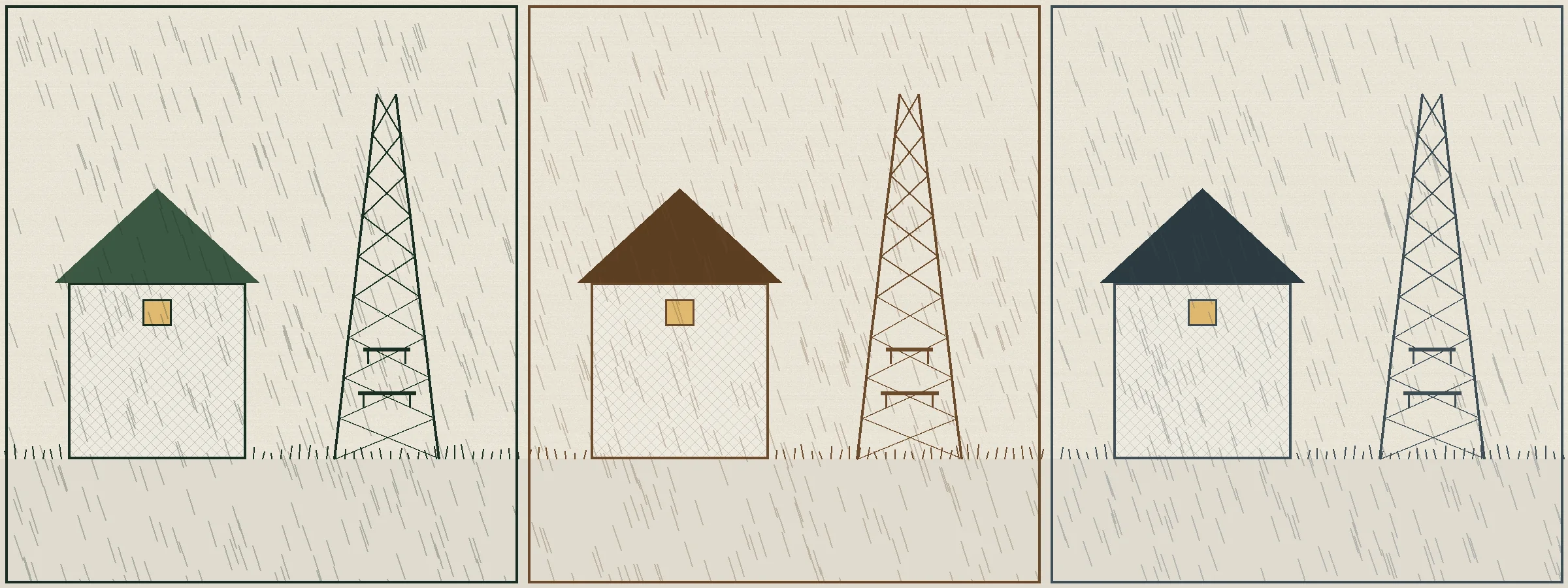
Original drawings of the places these stories cover.
How We Work
Who is behind this site, and what you can expect from it.
Renewable Energy Washington is a small independent publication. We read the public record, reservoir and snowpack reports, utility resource plans, and the agendas of the councils and commissions that run the grid, and we write up what actually matters for people who live here.
Every figure is rounded down or hedged unless we can point at a primary document. When the document does not exist, the story says so in plain language.
What you can count on
- No invented statistics, no invented quotes, no invented docket numbers.
- If we get something wrong, the correction runs at the top of the next story, not buried at the bottom of the old one.
- When we do not know something, we say so.